


Agriculture drones have revolutionized farming practices by offering precise and efficient data collection for crop monitoring and analysis. One of the key applications of agriculture drones in India is mapping and surveying fields to create accurate and detailed images. This article will explore the process of mapping and surveying with agriculture drones, focusing on how to create accurate field images. We will discuss the benefits of using agriculture drones for mapping, the necessary equipment and software, and the step-by-step process to ensure precise results.
Understanding the Benefits of Agriculture Drones for Mapping
Agriculture drones provide numerous benefits for mapping and surveying fields in India:
- High Precision: Agriculture drones equipped with advanced sensors and GPS technology can capture detailed and accurate data about the terrain, vegetation, and crop health. This level of precision enables farmers and agronomists to make informed decisions about their crops.
- Time and Cost Savings: Mapping and surveying with agriculture drones significantly reduce the time and cost involved in traditional field surveys. Drones can cover large areas in a fraction of the time it takes for manual surveys, allowing farmers to assess their fields quickly and efficiently.
- Data Accessibility: The data collected by agriculture drones can be easily accessed and analyzed using specialized software. This provides farmers with valuable insights into crop health, soil conditions, and irrigation needs, empowering them to optimize their farming practices.
Necessary Equipment and Software
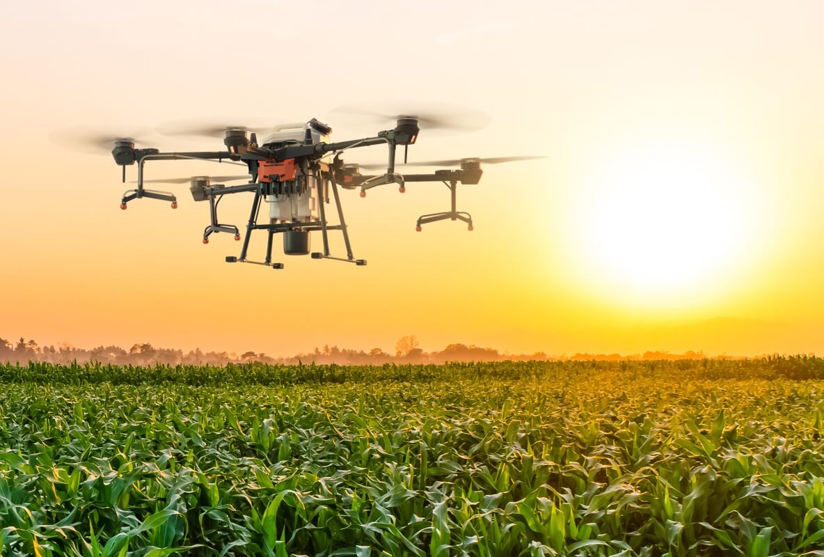
- Agriculture Drone: Selecting the right agriculture drone India is crucial for accurate field mapping. Consider factors such as flight time, payload capacity, camera quality, and GPS capabilities. Popular agriculture drone models in India include DJI Agras series, Yuneec H520, and senseFly eBee X.
- High-resolution Camera: Choose a camera that captures high-resolution images suitable for mapping and surveying. Look for cameras with adjustable settings, such as exposure and white balance, to ensure accurate image capture.
- Ground Control Points (GCPs): GCPs are physical markers placed on the field to provide reference points for image processing and accurate mapping. These can be simple targets or markers with known coordinates.
- Photogrammetry Software: Utilize photogrammetry software such as Pix4D, Agisoft Metashape, or DroneDeploy to process the captured images and generate accurate field maps. These software packages offer features like stitching, georeferencing, and 3D modeling.
Step-by-Step Process for Accurate Field Mapping
- Pre-flight Planning: Conduct thorough pre-flight planning, including selecting the appropriate flight route, considering weather conditions, and checking for any flight restrictions or regulations in the area.
- Setting Ground Control Points: Before the drone flight, place GCPs strategically across the field. These points should be easily identifiable and have known coordinates that can be used as reference points during image processing.
- Flight Mission Execution: Fly the agriculture drone over the designated area, following the predetermined flight plan. Ensure proper camera settings, such as image overlap and exposure, to capture sufficient data for accurate mapping.
- Image Processing: Transfer the captured images to a computer and import them into the photogrammetry software. Use the software’s stitching and georeferencing capabilities to align the images, create a digital surface model (DSM), and generate an accurate field map.
- Data Analysis and Interpretation: Analyze the field map generated by the software to identify areas of interest, assess crop health, and detect anomalies or potential issues. Use this information to make data-driven decisions regarding irrigation, fertilization, pest control, and overall crop management.
Conclusion
Mapping and surveying with agriculture drones provide farmers in India with valuable insights into their fields, allowing for informed decision-making and optimized farming practices. By utilizing high-precision drones, suitable cameras, and specialized software, farmers can create accurate field images that reveal essential information about crop health, soil conditions, and more. Incorporating agriculture drones into mapping and surveying processes can result in significant time and cost savings, improved productivity, and sustainable farming practices.
